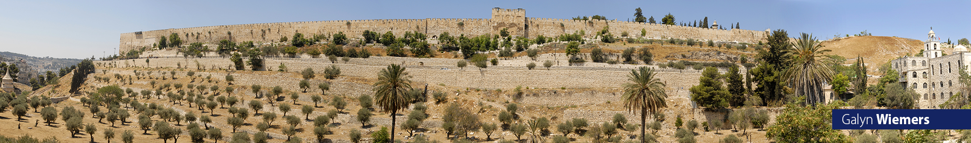
Section F Roman, Muslim, and Crusader Periods
Chapter 63 - Roman Wall by the Western Wall Plaza (Roman) The Eastern Cardo
The Madaba map, a detailed mosaic from 542-570 found on a Byzantine church floor in Jordan, shows the location of the Church of the Holy Sepulcher, the Nea Church, the Cardo Street and much more. One the details portrayed on the Madaba map is another Roman street to the east of the main Cardo street, which has thus been called the Eastern Cardo Street. In 2007 a major colonnaded street running under the west portion of the Western Wall Prayer Plaza was uncovered during the early construction stages of a public service building. It appears the Eastern Cardo Street has been discovered.
On the Madaba map this street runs northwest along the Tyropoean Valley to a place where it connects with the Cardo street in a large paved area with a large Roman pillar in front of the Damascus Gate (which was known as the New Gate – i.e., Nea Gate – in the year 333 AD) in the north.
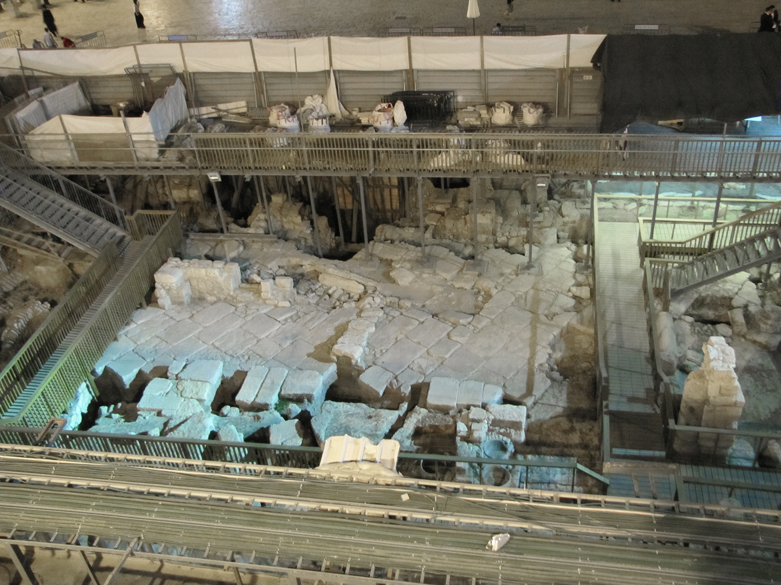
This Roman road was just uncovered in 2007 near the Western Wall Plaza (top edge of this photo). The pavement and remains of walls from Aelia Capitolina, the Roman city rebuilt over Jerusalem (135-325 AD) can be seen here. The plans now are to continue with the excavation, and then build the public building over the area, with a museum of the Roman city and street in the lower level of the building. The pavement stones are set diagonally in typical Roman style, which may have helped prevent wagons from slipping. There is also a drainage system built under the pavement stones.