Photos, Pictures of Israel Archaeology Sites and Ancient Biblical Cities
Generation Word Bible Teaching Home Page Galyn's Israel Photos Map of Israel with links to biblical sites and archaeological locations in the Holy Land

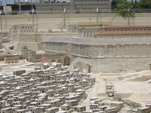
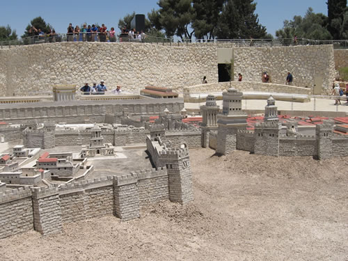
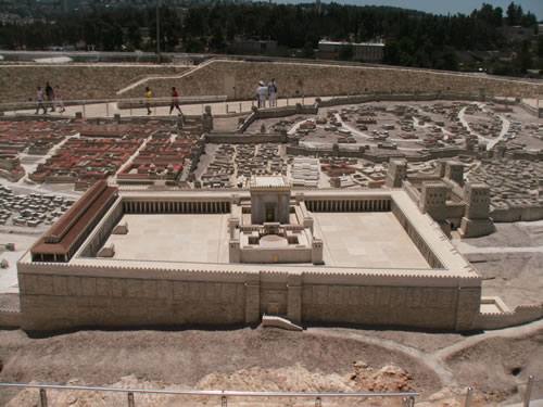
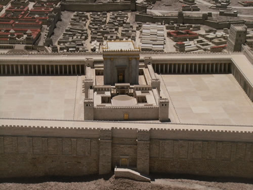
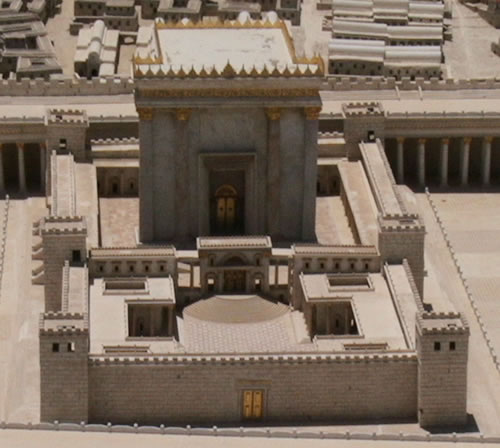
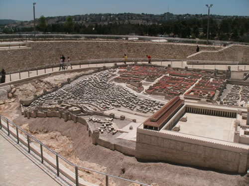
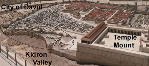
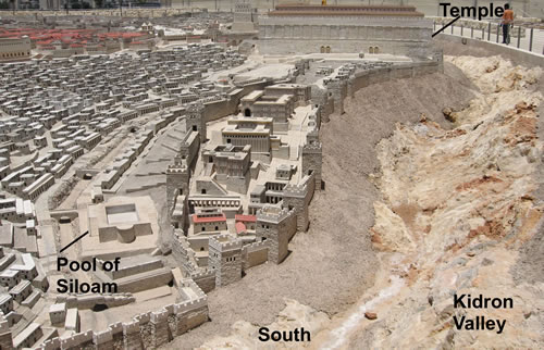
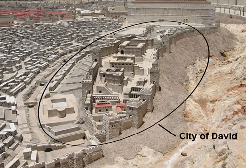
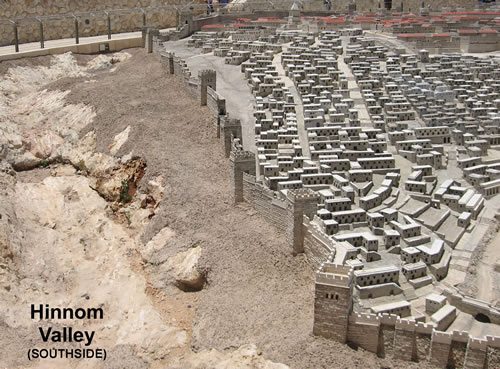
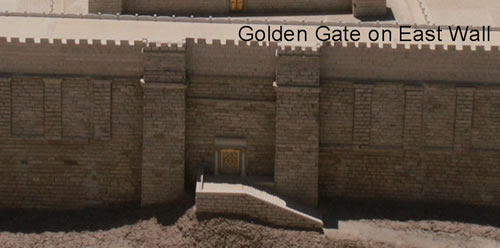
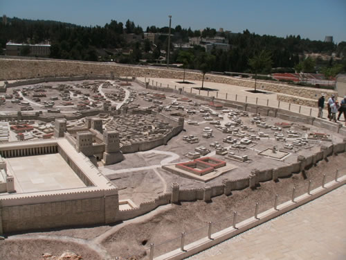
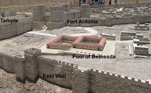
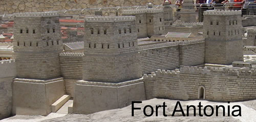
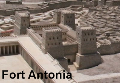
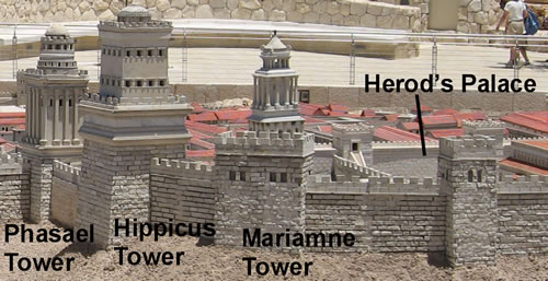
Model of Jerusalem as it
Appeared Before the Destruction of 70 AD
 

Model of Jerusalem from 70 AD


Model of Jerusalem from 70 AD


The Temple Mount


Temple in Jerusalem in 70 AD


Temple in Jerusalem in 70 AD


Southside of the temple mount from Mt. of Olives


Southside of the temple looking from the Mount of Olives


Southside of temple mount


South Temple Mount Wall with stairs leading into Temple Mount underground entrances


South of the Temple Mount Wall


Southwest view of the temple mount wall


City of David, south of the Temple Mount


City of David


Hinnom Valley south of Jerusalem


The Golden Gate on the eastside of the Temple that leads to the Kidron Valley


Northside of Jerusalem as viewed from the Mount of Olives


Northeast View of Jerusalem


Fort Antonia


Fort Antonia on the Northwest  corner of the Temple Mount


Pool of Bethesda


Pool of Bethesda


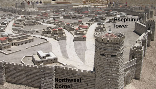
Psephinus Tower was 150 feet tall and you could see both the Mediterranean Sea and the Dead Sea from the top of it.

Northwest Side of Jerusalem


Westside of Jerusalem by the Joppa Gate


  The Three Towers that Herod Built on the Northside of his Palace along the west wall
   
For Bible teaching audio, video and study tools
visit Generation Word's home page at
www.generationword.com
Click here to go to the Generation Word home page with audio, video, podcasting, study tools and more
Click here to go back to the map of Israel to choose another ancient site to visit