| Mount Arbel as seen from the Sea of Galilee. |
|
| |
 |
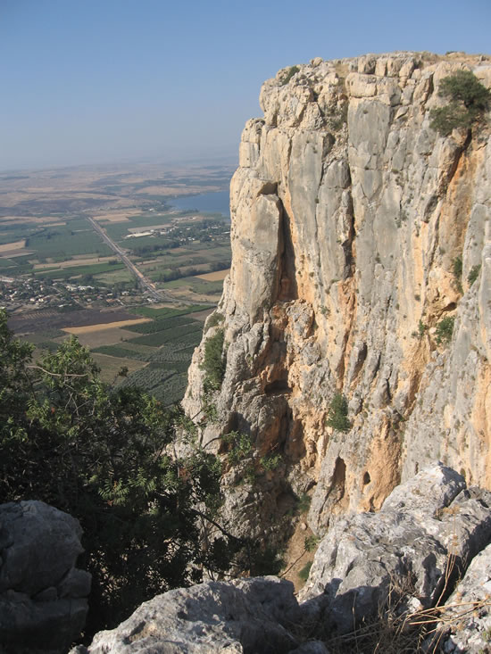
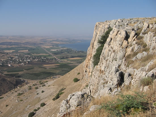
Elevation 594 feet above sea level and 1283 feet above the Sea of Galilee. The cliff of Arbel overlooks the Sea of Galilee and provides an excellent panorama of the Sea and the plain of Gennesaret. Below the villages on the shore of the Sea of Galilee can be seen.
The Syrian General Baccies attacked Jews hiding in these caves in 161 BC during the Maccabean revolt. Herod the Great burned out criminals from these caves around 38 BC when he was first given jurisdiction over Galilee as a young man serving under his father.
At the top on the SW side of the cliff are ruins of a Byzantine village with a synagogue excavated by H. Kohl and C. Watzinger in 1905. These ruins are located in the center of the modern Moshav Arbel and must be entered by foot from a street inside the Moshav. A Moshav is a cooperative agricultural community of individual farms settled by Zionists. |
Mount Arbel from the other side.
These are the cliffs with the caves that Herod pulled the rebels from to their deaths when he had conquerored Galilee for the Romans. |
 |
Looking to the north from the top of Arbel. Sea of Galilee is to the west.
The north shore of Galilee is the location of Capernaum, the sermon on the mount, Korazin, Jesus sermon from the boat, Bethsaida and John 21 |
|
| Some of the caves can be seen here |
 |
| |
 |
| |
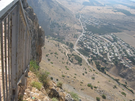 |
| Looking back up the trail we came down. |
 |
| |
|
| |
|
| Mount Tabor is to the south |
|
| Tiberias is along the coast to the south |
|
The Horns of Hittim are also to the south and a little west.
This was the sceen of a great Crusader loss to the Muslims in the year 1187 |
|
| |
|
| Looking down from Mt. Arbel |
|
| |
|
| Scaling down Arbel |
|
| Carl Rasmussen, professor from Bethel and the Jerusalem University, leads the way down the side of Arbel |
|
| Looking back up as Galyn makes his way down Arbel |
|
| |
|
| A goat near the base of Arbel with the Sea of Galilee in the background |
|
| |
|
| |
|
| |
|
| |
|